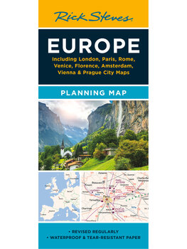
Europe Planning Map
$12.99

- Printed on tough, water-resistant paper
- The perfect map for Europe pre-trip planning
- Designed by travelers
- Includes freeways and main train lines
- Eight city-center maps on reverse side
Buy your Europe Planning Map:
What's Included
- Easy Route Planning: Shows major train lines, freeways, and ferry routes (for drivers wanting a detailed road map, we recommend taking along a Michelin Map).
- No Clutter: While big cities are left in for navigational purposes, this map is otherwise stripped clean and filled in only with places that matter to travelers.
- Comprehensive: Nearly every recommended European destination is shown, with Iceland and southeastern Europe (Greece, Albania, North Macedonia, southern Bulgaria, and western Turkey) included on the reverse side. (Not covered: points north of of Ålesund, Norway and Sundsvall, Sweden, and points east of Tallinn, Warsaw, Budapest, and Dubrovnik).
- City Maps on Back: The reverse side includes a handy rail time/cost map, suggested itinerary priorities by country, and detailed city-center maps for London, Paris, Rome, Venice, Florence, Amsterdam, Vienna, and Prague.
- Round-Trip Tough: We've designed our newest generation of planning maps to resist rips and repel water.
Product Details
| Dimensions: | folded: 9 ½" x 4 ¼" unfolded: 25" x 28" |
| Weight: | 1 oz |
| Materials: | Water-resistant paper |
| Next edition arrives: | TBD |
 0
0

 0
0