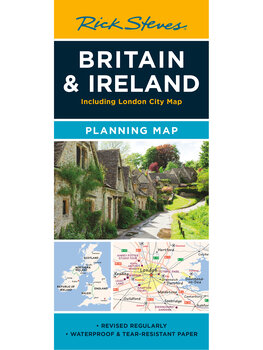
Britain & Ireland Planning Map
$9.99

- Printed on tough, water-resistant paper
- The perfect map for Britain and Ireland pre-trip planning
- Designed by travelers
- Includes freeways and main train lines
- London, Dublin, other city maps included
Buy your Britain & Ireland Planning Map:
What's Included
- Big Picture: Shows both islands from top to bottom, in a colorful, easy-to-use format.
- Easy Route Planning: Shows major train lines, freeways, and ferry routes (for drivers wanting a detailed road map, we recommend taking along a Michelin Map).
- No Clutter: While big cities are left in for navigational purposes, this map is otherwise stripped clean and filled in only with places that matter to travelers.
- More Maps: The reverse side includes a colorful, detailed heart of London map, locating sights from Rick's guidebooks, plus a London Tube map, and a detailed city-center map of Edinburgh. The front includes detailed city-center maps for Dublin, York and Bath, plus a map of the Cotswolds and handy driving time/distance maps.
- Round-Trip Tough: We've designed our newest generation of planning maps to resist rips and repel water.
Product Details
| Dimensions: | folded: 9 ½" x 4 ¼" unfolded: 25" x 19" |
| Weight: | 0.5 oz |
| Materials: | Water-resistant paper |
| Next edition arrives: | TBD |
 0
0

 0
0