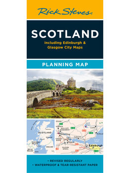
Scotland Planning Map
$9.99

- Printed on tough, water-resistant paper
- The perfect map for Scotland pre-trip planning
- Designed by travelers
- Includes key roads and major train lines
- Colorful, detailed city-center maps
Buy your Scotland Planning Map:
What's Included
- Easy Route Planning: Shows major train lines, freeways, and ferry routes (for drivers wanting a detailed road map, we recommend taking along a Michelin Map).
- No Clutter: While major cities and towns are left in for navigational purposes, this map is otherwise stripped clean and filled in only with places that matter to travelers.
- More Maps: The reverse side includes colorful, detailed city-center maps of Edinburgh and Glasgow, locating sights from Rick's Scotland guidebook, plus inset maps for the Stirling area, Inverness and Loch Ness, and the Isle of Skye. And on the front a handy driving time/distance map along with an itinerary map of Scotland's best two-week trip by car.
- Round-Trip Tough: We've designed our newest generation of planning maps to resist rips and repel water.
Product Details
| Dimensions: | folded: 9 ½" x 4 ¼" unfolded: 25" x 19" |
| Weight: | 0.5 oz |
| Materials: | Water-resistant paper |
| Next edition arrives: | TBD |
 0
0

 0
0